
How to Find Property Lines Along Alleys
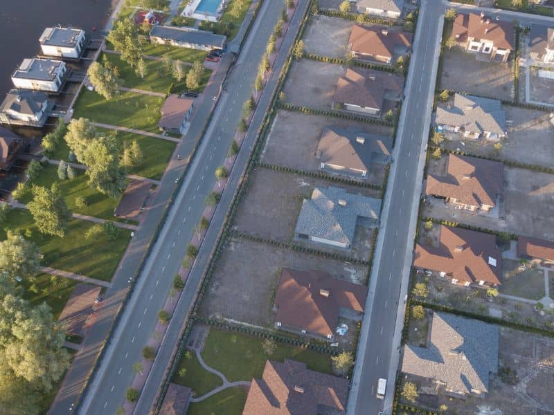
The back of an older city lot is where boundary questions tend to pile up. A garage sits right against the pavement, a neighbor’s fence juts into the gravel, and nobody’s quite sure where the yard ends and the alley begins. To find property lines along an alley, you need the recorded plat, any surviving corner markers, and measurements that tie the two together. The paved edge, an old fence, or a utility pole won’t tell you much on their own. If you’re planning a garage, fence, or parking pad near the rear of your lot, confirm the line first so you don’t build on public land or a neighbor’s property.
Why Alley Boundaries Can Be Hard to Identify
Alley boundaries are hard to spot because the part people drive on often doesn’t match the width shown on paper. An alley is a narrow public or private way that runs behind lots, usually to give rear access to garages, trash pickup, and utilities. Many were laid out on plats decades ago at a set width. Over time, the paved or gravel strip may have shifted, narrowed, or spread wider than the recorded limits.
Owners add to the confusion without meaning to. Fences, garages, and parking pads often get built right up to the pavement edge because it looks like the natural line. Years later, those improvements start to feel like proof of the boundary. They aren’t, and they may sit a few feet off the true line.
Some alleys have also been partly or fully closed through an official process, often called a vacation. When that happens, the land may pass to nearby owners, but the details depend on local rules and recorded documents. A lot next to a vacated alley can have a rear line that’s different from what the original plat shows.
How Surveyors Verify Property Lines Along Alleys
A surveyor starts with records and then checks them against what’s in the field. The goal is to find where your rear line sits based on evidence, not on what the alley looks like today. That process is what a boundary survey is built to do.
The research usually includes the recorded plat, your deed, older surveys of your lot and nearby lots, and any records showing the alley was vacated or changed. In the field, the surveyor searches for corner markers and measures between them. They often work from markers at street corners or block corners and carry those measurements to your lot.
Then they compare the recorded lines with what’s on the ground. That shows whether fences, garages, and pavement fall inside your lot, in the alley, or on a neighbor’s land. The surveyor can mark the line so you and your contractor can see it.
What You Can Check Yourself First
You can gather useful clues before calling a surveyor. Look up your plat and any past survey through the county recorder or your closing papers. Search your rear corners with a metal detector, since iron pins are often buried a few inches down. Keep in mind that county online parcel maps are helpful for a rough picture, but they aren’t precise enough to set a fence or build a garage.
What Plats and Monuments Can Reveal About Alley Limits
A plat is a recorded map that shows how a block was divided into lots, streets, and alleys. It usually lists the width of the alley and the length of each lot line. That makes it one of the best starting points for figuring out where your rear line should fall.
Monuments are the physical markers surveyors set to show corners on the ground. They might be iron pins, pipes, concrete markers, or marks in pavement. Rear corners near alleys often take a beating from traffic, snowplows, and repaving, so many are buried, bent, or gone.
When markers are missing, the surveyor rebuilds the corners from the plat, surviving markers nearby, and other evidence. A marker that’s been knocked out of place won’t be accepted just because it’s there. It has to fit with the rest of the evidence.
Encroachments and Access Issues Near Rear Property Lines
An encroachment happens when something built on one property crosses onto another or into the alley. Rear lot lines see a lot of these because improvements tend to creep toward the pavement over the years. Common examples include:
- A garage or shed that extends past the rear line
- Fences built out into the alley
- Parking pads or driveways paved beyond the lot
- Trash enclosures, retaining walls, or landscaping in the alley area
- A neighbor’s structure that crosses the shared side line near the alley
Access is the other side of the issue. If you reach your garage through the alley, you’re depending on that alley staying open and usable. Alleys often carry power lines, poles, and other utilities, so building into them can also block service crews. Who owns and maintains an alley can vary by municipality and by how the alley was created.
If a survey shows an encroachment, don’t try to fix it by moving things on your own. Talk with the local permit office about any rules for the alley, and speak with a real estate attorney about ownership questions. This article is general information and not legal advice.
When a Boundary Survey Is Needed Before Improvements
Get a boundary survey before you build anything close to the rear line. That includes a new garage, fence, carport, parking pad, or addition. It also makes sense before you buy or sell a lot where the alley line seems unclear.
Local permit offices may ask for a site plan that shows where the work will sit on the lot. Requirements can vary by municipality, property type, and project scope. Check with the permit office early so you know what drawings they’ll expect.
Timing matters too. Survey schedules can fill up during building season, and records research on older blocks can take extra time. Book the survey before you hire a contractor or order materials so your plans rest on the right line from the start.
Frequently Asked Questions
Does the alley behind my house belong to me?
Usually, the alley isn’t part of your lot, but ownership depends on how it was created and recorded. Many alleys are public, while some are private or have been vacated. Your plat, deed, and local records hold the answer. A surveyor or real estate attorney can help you confirm it.
Can I use the county parcel map to find property lines?
County parcel maps are good for a general idea of your lot’s shape and location. They aren’t survey-grade and can be off by several feet. That’s too much error for placing a fence, garage, or parking pad. For work near the line, rely on a boundary survey instead.
Is the edge of the alley pavement my property line?
Not necessarily. The paved strip may be narrower, wider, or shifted from the alley width shown on the plat. Many garages and fences built to the pavement sit off the true line. A survey will show where your rear line actually falls.
